

Career
Candrone
GIS Specialist
Lead all LiDAR and photogrammetry data processing, ensuring high-accuracy geospatial deliverables.
Designing and implementing optimized file management systems, reducing storage overhead while maintaining high data accessibility.
Create custom QGIS workflows for contracted RPAS pilots to support natural disaster response missions.
Develop and deliver comprehensive LiDAR training courses (beginner & advanced) online, covering data capture, processing, and workflow best practices.
Maintain software licenses, manage processing hardware, and provide internal consultation on GIS applications.
Process large-scale LiDAR and drone photogrammetry datasets, focusing on point cloud classification, DEM generation, and geospatial analysis.
Education
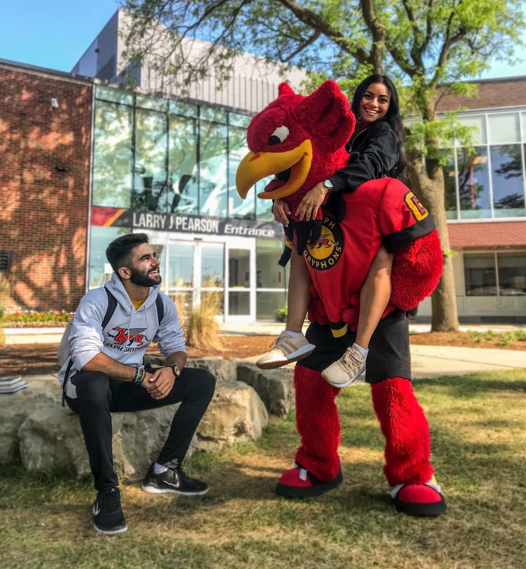
University of Guelph
BSc Environmental Geoscience and Geomatics
Geomatics regarding the collection, interpretation, and manipulation of spatial data through GIS and
remote sensing. Invested time into automating GIS workflows using python and machine-learning.
Geosciences primarily studying geology, hydrology, the biophysical environment, and climatology.
Represented the Department of Geography at the Ontario University Fair hosted at the Toronto Metro Convention Centre functioning as the 2019 and 2020 president of The Geography Society for the University of Guelph